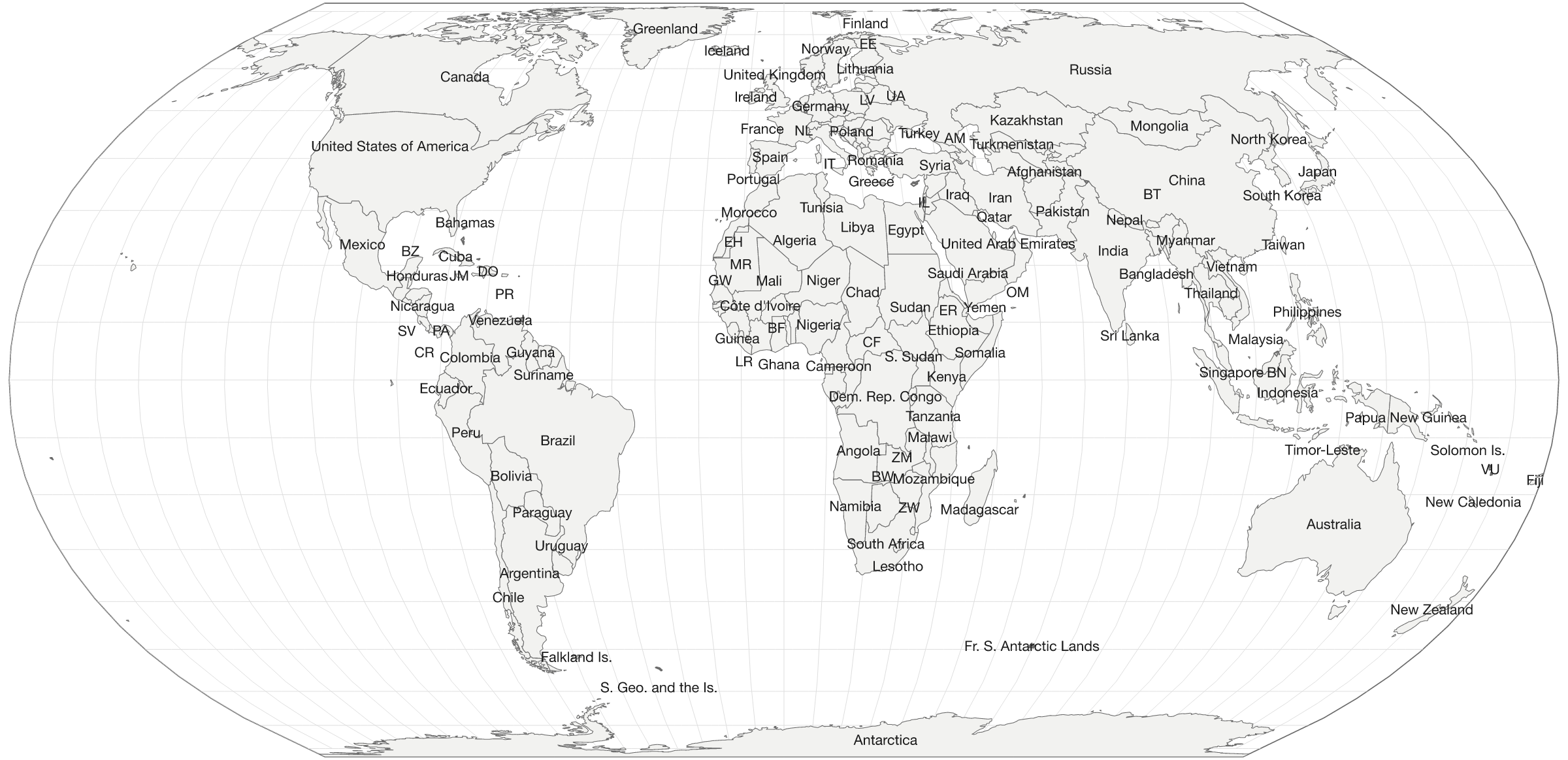
A world map with the countries named
Every country outlined and 121 of them named, drawn on a projection that keeps their sizes honest. Free to download and print, labelled or blank.
Download it
Public domain: print it, edit it, put it in a lesson or a report. No attribution required, though it is always welcome.
The blank one
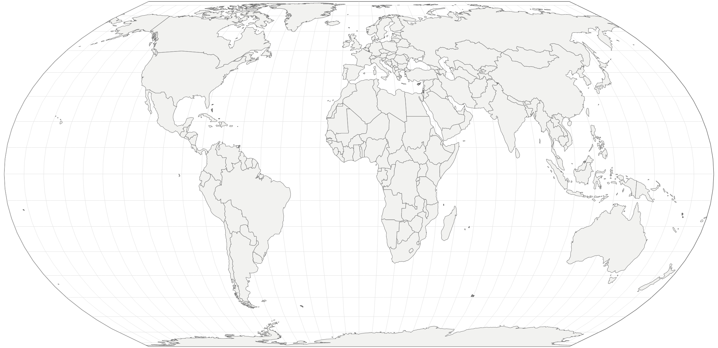
Same geometry, no names and no fills, for filling in or for anywhere the labels would get in the way.
Greenland is not that big
The world map most people picture is Mercator, and Mercator is wrong about size: it stretches everything towards the poles. That is how Greenland ends up looking a match for Africa, a continent fourteen times larger.
This one is Equal Earth, so every country takes the space it actually has. The cost is shape: land near the edges leans a little.
Questions
Can I print this map or use it in a lesson?
Yes, freely. The outlines come from Natural Earth, which is public domain, so no permission is needed and no attribution required, for any purpose including commercial. The labelled and blank versions are both offered as PNG for printing and SVG for anything that needs to scale.
Why does this map look different to most world maps?
It is drawn on the Equal Earth projection, published in 2018. Every country covers the right amount of the page relative to every other. Africa really is fourteen times the size of Greenland, which the familiar Mercator projection gets badly wrong, stretching land near the poles and shrinking land near the equator. Equal Earth keeps the areas honest while still looking like a map rather than an interrupted diagram.
Why are some countries labelled with two letters?
Because the name does not fit. 25 of the 121 labels are ISO country codes rather than names, mostly in central Europe and west Africa, where several small countries sit close together. Where even the code will not fit without covering a neighbour, the country is left unlabelled rather than cluttered; the blank version and the country list below cover the rest.
How many countries are on it?
241 outlines are drawn, of which 235 are countries and territories keeping their own time zone. 121 carry a label at this size. The printable file is larger, so it fits more.
The live day and night map · Time zones · Every flag · Local time in 275 cities